
Hajnówka topographic map
Interactive map
Click on the map to display elevation.
About this map
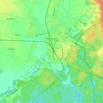
Name: Hajnówka topographic map, elevation, terrain.
Location: Hajnówka, powiat hajnowski, Podlachie, 17-200, Pologne (52.70216 23.52902 52.76182 23.62359)
Average elevation: 541 ft
Minimum elevation: 489 ft
Maximum elevation: 630 ft