
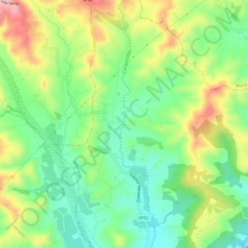
Càstore topographic map
Interactive map
Click on the map to display elevation.
About this map
Name: Càstore topographic map, elevation, terrain.
Location: Càstore, Stignano, RC, CAL, 63064, Italia (38.36865 16.47831 38.40604 16.48532)
Average elevation: 289 ft
Minimum elevation: 20 ft
Maximum elevation: 709 ft