
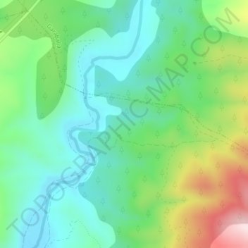
Hoya de los Jarques topographic map
Interactive map
Click on the map to display elevation.
About this map
Name: Hoya de los Jarques topographic map, elevation, terrain.
Location: Hoya de los Jarques, Mira, Cuenca, Castille-La Manche, Espagne (39.74532 -1.42000 39.76532 -1.40000)
Average elevation: 3,136 ft
Minimum elevation: 2,736 ft
Maximum elevation: 4,055 ft