
Clark Mountain topographic map
Interactive map
Click on the map to display elevation.
About this map
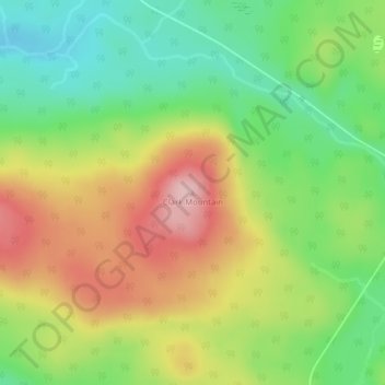
Name: Clark Mountain topographic map, elevation, terrain.
Average elevation: 1,391 ft
Minimum elevation: 1,099 ft
Maximum elevation: 1,755 ft
Other topographic maps
Click on a map to view its topography, its elevation and its terrain.
Grand-Sault
Canada > Nouveau-Brunswick > Comté de Victoria
Grand-Sault, Comté de Victoria, Nouveau-Brunswick, Canada
Average elevation: 584 ft