
Zeil am Main topographic map
Interactive map
Click on the map to display elevation.
About this map
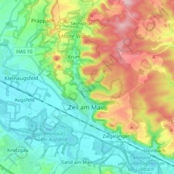
Name: Zeil am Main topographic map, elevation, terrain.
Location: Zeil am Main, Landkreis Haßberge, Beieren, 97475, Duitsland (49.99057 10.55158 50.05518 10.67515)
Average elevation: 945 ft
Minimum elevation: 705 ft
Maximum elevation: 1,434 ft