
Mont Vully topographic map
Interactive map
Click on the map to display elevation.
About this map
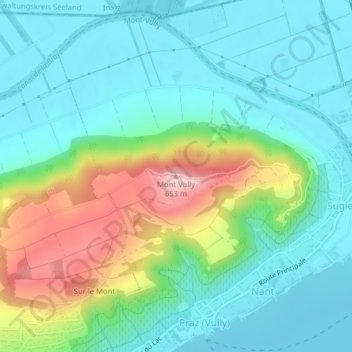
Name: Mont Vully topographic map, elevation, terrain.
Location: Mont Vully, Wistenlach, Seebezirk, Freiburg, 1788, Schweiz (46.96396 7.09389 46.96406 7.09399)
Average elevation: 1,598 ft
Minimum elevation: 1,391 ft
Maximum elevation: 2,146 ft