
Nakasongola topographic map
Interactive map
Click on the map to display elevation.
About this map
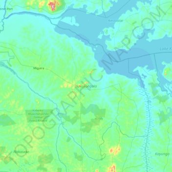
Name: Nakasongola topographic map, elevation, terrain.
Location: Nakasongola, Central Region, Uganda (0.96149 31.96764 1.67804 32.79994)
Average elevation: 3,484 ft
Minimum elevation: 3,383 ft
Maximum elevation: 4,508 ft
Other topographic maps
Click on a map to view its topography, its elevation and its terrain.