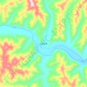
上红科乡 topographic map
Interactive map
Click on the map to display elevation.
About this map
Name: 上红科乡 topographic map, elevation, terrain.
Average elevation: 14,091 ft
Minimum elevation: 13,412 ft
Maximum elevation: 15,394 ft

Click on the map to display elevation.
Name: 上红科乡 topographic map, elevation, terrain.
Average elevation: 14,091 ft
Minimum elevation: 13,412 ft
Maximum elevation: 15,394 ft