
Hedsor topographic map
Interactive map
Click on the map to display elevation.
About this map
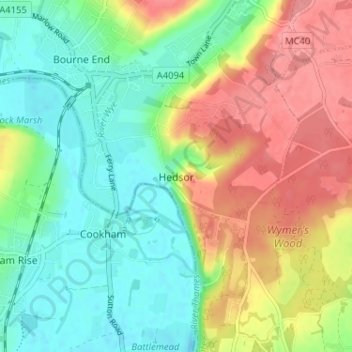
Name: Hedsor topographic map, elevation, terrain.
Location: Hedsor, Buckinghamshire, Inglaterra, SL8 5BD, Reino Unido (51.54657 -0.71475 51.58657 -0.67475)
Average elevation: 184 ft
Minimum elevation: 69 ft
Maximum elevation: 344 ft