
Lonau topographic map
Interactive map
Click on the map to display elevation.
Lonau
Lonau is a small village with a population of about 345 situated at an elevation of about 400m in the Harz Mountains of Northern Germany. Besides the clean air and lush forests, it is famous for the capercaillie. It belongs to the city of Herzberg am Harz which is about 4 km to the south. The rivers Große Lonau and Kleine Lonau join here.
About this map
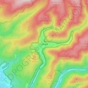
Name: Lonau topographic map, elevation, terrain.
Average elevation: 1,463 ft
Minimum elevation: 810 ft
Maximum elevation: 2,103 ft