
Rindern topographic map
Interactive map
Click on the map to display elevation.
About this map
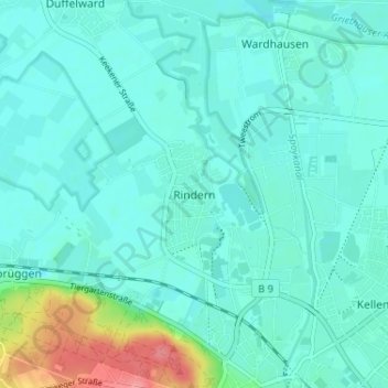
Name: Rindern topographic map, elevation, terrain.
Location: Rindern, Kleef, Noordrijn-Westfalen, 47533, Duitsland (51.79009 6.10639 51.83009 6.14639)
Average elevation: 69 ft
Minimum elevation: 20 ft
Maximum elevation: 295 ft