
Edith topographic map
Interactive map
Click on the map to display elevation.
About this map
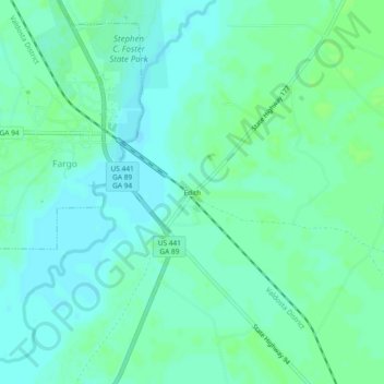
Name: Edith topographic map, elevation, terrain.
Location: Edith, Clinch County, Georgia, USA (30.65886 -82.57107 30.69886 -82.53107)
Average elevation: 112 ft
Minimum elevation: 98 ft
Maximum elevation: 125 ft