
Trinidad topographic map
Interactive map
Click on the map to display elevation.
About this map
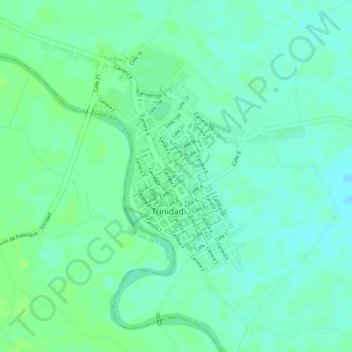
Name: Trinidad topographic map, elevation, terrain.
Location: Trinidad, Casanare, Colombia (5.39901 -71.67216 5.41998 -71.65112)
Average elevation: 548 ft
Minimum elevation: 528 ft
Maximum elevation: 561 ft
Other topographic maps
Click on a map to view its topography, its elevation and its terrain.