
Urmiri topographic map
Interactive map
Click on the map to display elevation.
About this map
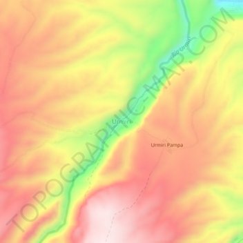
Name: Urmiri topographic map, elevation, terrain.
Location: Urmiri, Provincia Tomás Frías, PSI, Bolivia (-19.40550 -66.08412 -19.36550 -66.04412)
Average elevation: 12,694 ft
Minimum elevation: 11,749 ft
Maximum elevation: 13,284 ft