
Lattrop topographic map
Interactive map
Click on the map to display elevation.
About this map
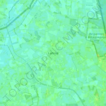
Name: Lattrop topographic map, elevation, terrain.
Average elevation: 69 ft
Minimum elevation: 56 ft
Maximum elevation: 92 ft
Other topographic maps
Click on a map to view its topography, its elevation and its terrain.
Lattrop-Breklenkamp
Nederland > Overijssel > Lattrop-Breklenkamp
Lattrop-Breklenkamp, Dinkelland, Overijssel, Nederland
Average elevation: 69 ft