
İnceler topographic map
Interactive map
Click on the map to display elevation.
About this map
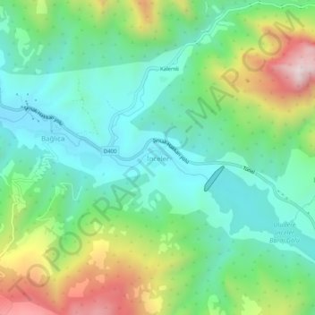
Name: İnceler topographic map, elevation, terrain.
Location: İnceler, Uludere, Şırnak, Southeastern Anatolia Region, Turkey (37.40897 42.77365 37.44897 42.81365)
Average elevation: 3,547 ft
Minimum elevation: 2,677 ft
Maximum elevation: 5,479 ft