
Val-Meer topographic map
Interactive map
Click on the map to display elevation.
About this map
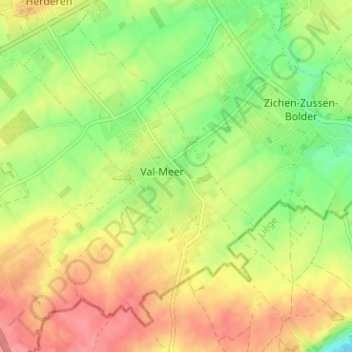
Name: Val-Meer topographic map, elevation, terrain.
Location: Val-Meer, Tongeren, Limburg, Vlaanderen, 4690, België (50.76712 5.57710 50.80712 5.61710)
Average elevation: 358 ft
Minimum elevation: 233 ft
Maximum elevation: 472 ft