
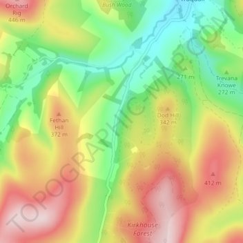
Newhall topographic map
Interactive map
Click on the map to display elevation.
About this map
Name: Newhall topographic map, elevation, terrain.
Location: Newhall, Scottish Borders, Scotland, EH44 6PY, United Kingdom (55.56064 -3.10451 55.60064 -3.06451)
Average elevation: 971 ft
Minimum elevation: 505 ft
Maximum elevation: 1,519 ft