
Ganalu topographic map
Interactive map
Click on the map to display elevation.
About this map
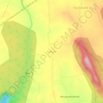
Name: Ganalu topographic map, elevation, terrain.
Location: Ganalu, Malavalli taluk, Mandya district, Karnataka, India (12.34599 77.19347 12.38599 77.23347)
Average elevation: 1,939 ft
Minimum elevation: 1,375 ft
Maximum elevation: 2,365 ft