
Chapmantown topographic map
Interactive map
Click on the map to display elevation.
About this map
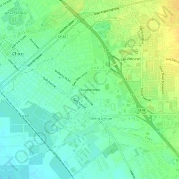
Name: Chapmantown topographic map, elevation, terrain.
Location: Chapmantown, Butte County, California, 95982, USA (39.70044 -121.83664 39.74044 -121.79664)
Average elevation: 217 ft
Minimum elevation: 177 ft
Maximum elevation: 272 ft