
Gonzales topographic map
Interactive map
Click on the map to display elevation.
About this map
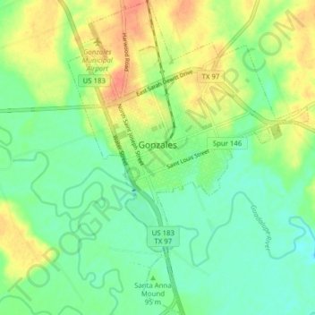
Name: Gonzales topographic map, elevation, terrain.
Location: Gonzales, Gonzales County, Texas, 78269, USA (29.47030 -97.47187 29.53786 -97.41239)
Average elevation: 302 ft
Minimum elevation: 243 ft
Maximum elevation: 390 ft