
Burkes Pass topographic map
Interactive map
Click on the map to display elevation.
About this map
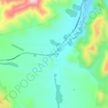
Name: Burkes Pass topographic map, elevation, terrain.
Location: Burkes Pass, Mackenzie District, Canterbury, New Zealand (-44.10944 170.63279 -44.06944 170.67279)
Average elevation: 2,041 ft
Minimum elevation: 1,673 ft
Maximum elevation: 3,005 ft