
Kurtköy Mahallesi topographic map
Interactive map
Click on the map to display elevation.
About this map
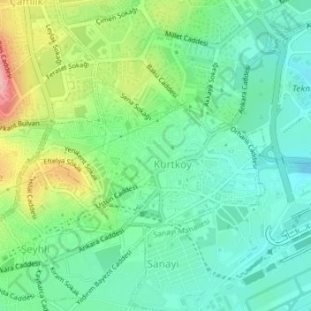
Name: Kurtköy Mahallesi topographic map, elevation, terrain.
Location: Kurtköy Mahallesi, Pendik, Istanbul, Marmara Region, Turkey (40.90813 29.28456 40.92172 29.31093)
Average elevation: 394 ft
Minimum elevation: 246 ft
Maximum elevation: 715 ft