
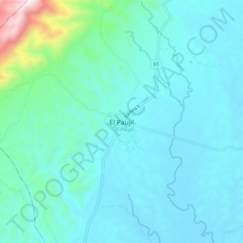
El Paujil topographic map
Interactive map
Click on the map to display elevation.
About this map
Name: El Paujil topographic map, elevation, terrain.
Location: El Paujil, Caquetá, Colombia (1.53085 -75.36605 1.61085 -75.28605)
Average elevation: 1,339 ft
Minimum elevation: 869 ft
Maximum elevation: 4,619 ft