
Gallatin National Forest topographic map
Interactive map
Click on the map to display elevation.
About this map
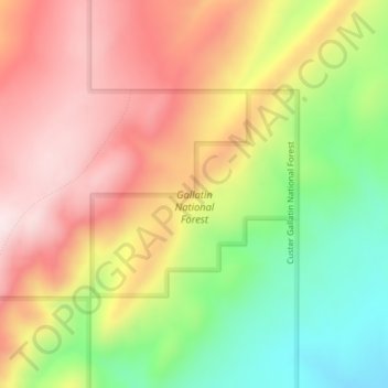
Name: Gallatin National Forest topographic map, elevation, terrain.
Average elevation: 6,650 ft
Minimum elevation: 5,919 ft
Maximum elevation: 7,290 ft