
Campbellville topographic map
Interactive map
Click on the map to display elevation.
About this map
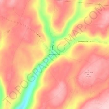
Name: Campbellville topographic map, elevation, terrain.
Location: Campbellville, Sullivan County, Pennsylvania, USA (41.52813 -76.57384 41.56813 -76.53384)
Average elevation: 1,585 ft
Minimum elevation: 1,132 ft
Maximum elevation: 1,781 ft