
Harrietta topographic map
Interactive map
Click on the map to display elevation.
About this map
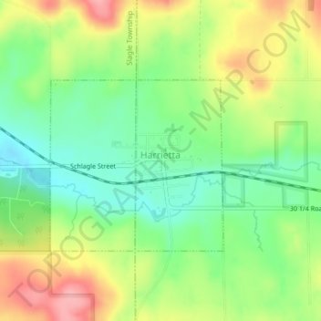
Name: Harrietta topographic map, elevation, terrain.
Location: Harrietta, Wexford County, Michigan, USA (44.30268 -85.71097 44.31637 -85.69041)
Average elevation: 1,194 ft
Minimum elevation: 1,030 ft
Maximum elevation: 1,421 ft