
Curimaná topographic map
Interactive map
Click on the map to display elevation.
About this map
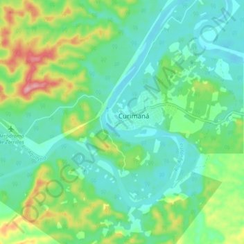
Name: Curimaná topographic map, elevation, terrain.
Location: Curimaná, Padre Abad, Ucayali, Perú (-8.47597 -75.19710 -8.39597 -75.11710)
Average elevation: 640 ft
Minimum elevation: 495 ft
Maximum elevation: 1,033 ft