
Famatina topographic map
Interactive map
Click on the map to display elevation.
About this map
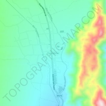
Name: Famatina topographic map, elevation, terrain.
Average elevation: 5,348 ft
Minimum elevation: 4,908 ft
Maximum elevation: 6,578 ft
Other topographic maps
Click on a map to view its topography, its elevation and its terrain.
Cerro La Punta
Cerro La Punta, Departametno Independencia, La Rioja, F5386, Argentina
Average elevation: 3,599 ft