
Bullard topographic map
Interactive map
Click on the map to display elevation.
About this map
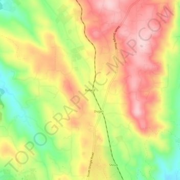
Name: Bullard topographic map, elevation, terrain.
Location: Bullard, El Dorado County, California, USA (38.58907 -120.98133 38.62907 -120.94133)
Average elevation: 1,142 ft
Minimum elevation: 741 ft
Maximum elevation: 1,467 ft