
Ortigas topographic map
Interactive map
Click on the map to display elevation.
About this map
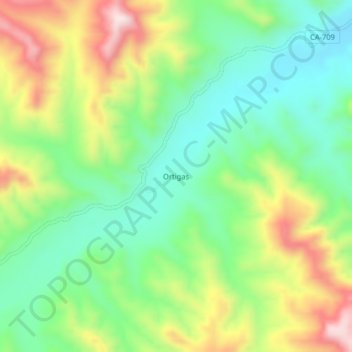
Name: Ortigas topographic map, elevation, terrain.
Location: Ortigas, Jaén, Cajamarca, Peru (-5.50869 -78.76499 -5.46869 -78.72499)
Average elevation: 1,969 ft
Minimum elevation: 1,437 ft
Maximum elevation: 2,838 ft