
Franklin City topographic map
Interactive map
Click on the map to display elevation.
About this map
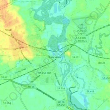
Name: Franklin City topographic map, elevation, terrain.
Location: Franklin, Franklin City, Virginia, 23851, USA (36.64715 -76.96943 36.71062 -76.90967)
Average elevation: 39 ft
Minimum elevation: -3 ft
Maximum elevation: 108 ft