
Clare topographic map
Interactive map
Click on the map to display elevation.
About this map
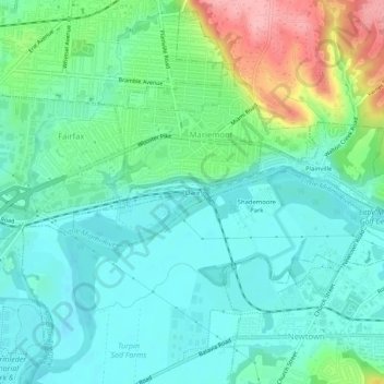
Name: Clare topographic map, elevation, terrain.
Location: Clare, Comté de Hamilton, Ohio, 45227, États-Unis d'Amérique (39.11950 -84.39688 39.15950 -84.35688)
Average elevation: 564 ft
Minimum elevation: 453 ft
Maximum elevation: 883 ft