
Sidi Aoun topographic map
Interactive map
Click on the map to display elevation.
About this map
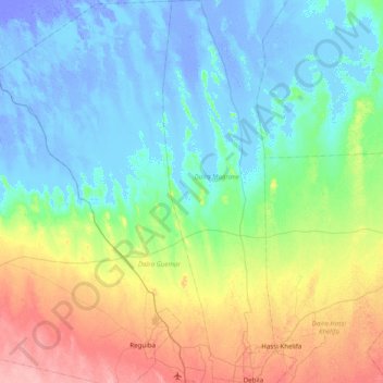
Name: Sidi Aoun topographic map, elevation, terrain.
Location: Sidi Aoun, Daïra Magrane, El Oued, Algérie (33.50126 6.75253 34.15042 6.91767)
Average elevation: 56 ft
Minimum elevation: -98 ft
Maximum elevation: 266 ft
Other topographic maps
Click on a map to view its topography, its elevation and its terrain.
Magrane
Algérie > El Oued > Daïra Magrane > Magrane
Magrane, Daïra Magrane, El Oued, Algérie
Average elevation: 49 ft