
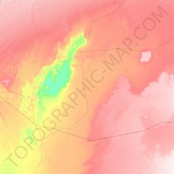
Aougrout topographic map
Interactive map
Click on the map to display elevation.
About this map
Name: Aougrout topographic map, elevation, terrain.
Location: Aougrout, Daïra Aougrout, Timimoune, 1012, Algérie (28.38192 0.13938 29.43534 2.09147)
Average elevation: 1,112 ft
Minimum elevation: 558 ft
Maximum elevation: 1,621 ft