
娜姑镇 topographic map
Interactive map
Click on the map to display elevation.
About this map
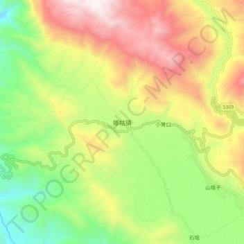
Name: 娜姑镇 topographic map, elevation, terrain.
Location: 娜姑镇, 会泽县, 曲靖市, Yunnan, China (26.47503 103.10768 26.55503 103.18768)
Average elevation: 6,837 ft
Minimum elevation: 4,692 ft
Maximum elevation: 9,432 ft