
Gwinnet County Historic Courthouse topographic map
Interactive map
Click on the map to display elevation.
About this map
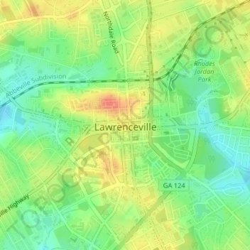
Name: Gwinnet County Historic Courthouse topographic map, elevation, terrain.
Average elevation: 1,050 ft
Minimum elevation: 974 ft
Maximum elevation: 1,132 ft