
Colquepata topographic map
Interactive map
Click on the map to display elevation.
About this map
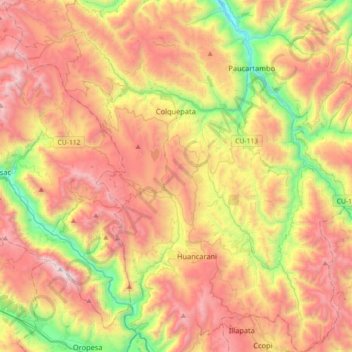
Name: Colquepata topographic map, elevation, terrain.
Location: Colquepata, Provincia de Paucartambo, Cuzco, Perú (-13.59929 -71.85025 -13.25060 -71.50205)
Average elevation: 12,526 ft
Minimum elevation: 9,262 ft
Maximum elevation: 15,771 ft