
Ока topographic map
Interactive map
Click on the map to display elevation.
About this map
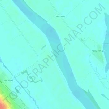
Name: Ока topographic map, elevation, terrain.
Average elevation: 338 ft
Minimum elevation: 315 ft
Maximum elevation: 466 ft
Other topographic maps
Click on a map to view its topography, its elevation and its terrain.
Lobnia
Lobnia, Oblast de Moscou, District fédéral central, Russie
Average elevation: 646 ft
Дмитровский городской округ
Дмитровский городской округ, Oblast de Moscou, District fédéral central, Russie
Average elevation: 574 ft