
Fizanlouma topographic map
Interactive map
Click on the map to display elevation.
About this map
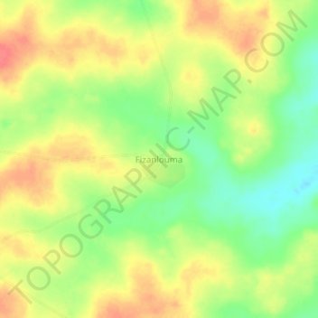
Name: Fizanlouma topographic map, elevation, terrain.
Location: Fizanlouma, Mankono, Béré, Woroba, Côte d'Ivoire (8.01320 -6.10562 8.05320 -6.06562)
Average elevation: 1,020 ft
Minimum elevation: 912 ft
Maximum elevation: 1,115 ft