
Boncelles topographic map
Interactive map
Click on the map to display elevation.
About this map
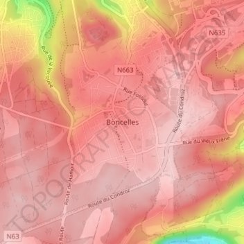
Name: Boncelles topographic map, elevation, terrain.
Location: Boncelles, Liège, Wallonia, 4102, Belgium (50.55430 5.51557 50.59430 5.55557)
Average elevation: 758 ft
Minimum elevation: 394 ft
Maximum elevation: 902 ft