
Sacred City of Caral-Supe topographic map
Interactive map
Click on the map to display elevation.
About this map
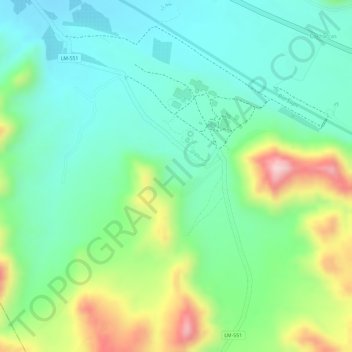
Name: Sacred City of Caral-Supe topographic map, elevation, terrain.
Average elevation: 1,289 ft
Minimum elevation: 1,007 ft
Maximum elevation: 1,847 ft