
Irishtown topographic map
Interactive map
Click on the map to display elevation.
About this map
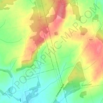
Name: Irishtown topographic map, elevation, terrain.
Location: Irishtown, Prince County, Prince Edward Island, Canada (46.49277 -63.60398 46.51154 -63.59495)
Average elevation: 161 ft
Minimum elevation: 26 ft
Maximum elevation: 299 ft