
Mîchamps topographic map
Interactive map
Click on the map to display elevation.
About this map
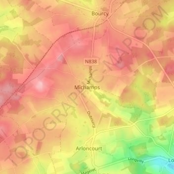
Name: Mîchamps topographic map, elevation, terrain.
Location: Mîchamps, Bastenaken, Luxemburg, Wallonië, 6600, België (50.02172 5.78383 50.06172 5.82383)
Average elevation: 1,654 ft
Minimum elevation: 1,371 ft
Maximum elevation: 1,804 ft