
Twin topographic map
Interactive map
Click on the map to display elevation.
About this map
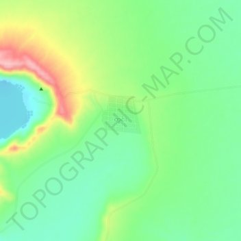
Name: Twin topographic map, elevation, terrain.
Location: Twin, Budalin Township, Monywa District, Sagaing, Myanmar (22.34063 95.02136 22.38063 95.06136)
Average elevation: 423 ft
Minimum elevation: 249 ft
Maximum elevation: 741 ft