
Makokou topographic map
Interactive map
Click on the map to display elevation.
About this map
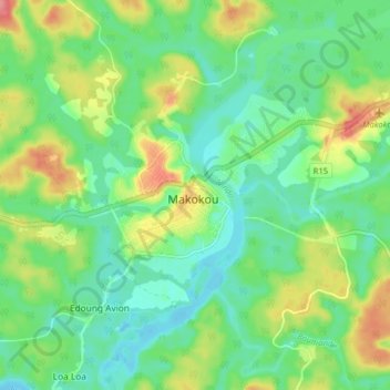
Name: Makokou topographic map, elevation, terrain.
Location: Makokou, Ogooué-Ivindo, Gabon (0.52273 12.81291 0.60273 12.89291)
Average elevation: 1,594 ft
Minimum elevation: 1,496 ft
Maximum elevation: 1,781 ft