
Gyazhugling topographic map
Interactive map
Click on the map to display elevation.
About this map
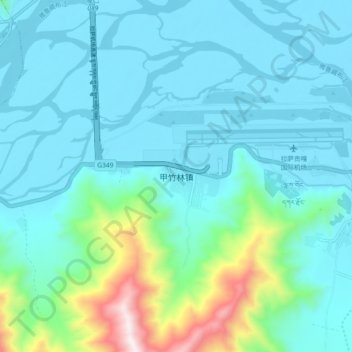
Name: Gyazhugling topographic map, elevation, terrain.
Location: Gyazhugling, Gonggar County, China (29.24772 90.84920 29.32772 90.92920)
Average elevation: 12,172 ft
Minimum elevation: 11,690 ft
Maximum elevation: 14,669 ft