
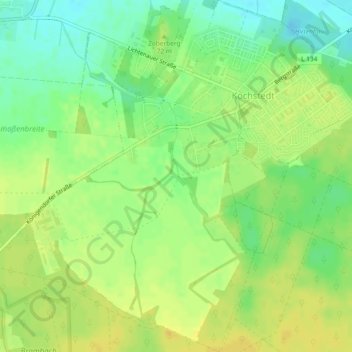
Kochstedt topographic map
Interactive map
Click on the map to display elevation.
About this map
Name: Kochstedt topographic map, elevation, terrain.
Location: Kochstedt, Dessau-Roßlau, Saxony-Anhalt, Germany (51.77779 12.15852 51.80648 12.19643)
Average elevation: 236 ft
Minimum elevation: 190 ft
Maximum elevation: 266 ft