聂当乡 topographic map
Interactive map
Click on the map to display elevation.
About this map
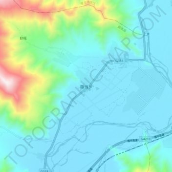
Name: 聂当乡 topographic map, elevation, terrain.
Average elevation: 12,507 ft
Minimum elevation: 11,837 ft
Maximum elevation: 15,725 ft

Click on the map to display elevation.
Name: 聂当乡 topographic map, elevation, terrain.
Average elevation: 12,507 ft
Minimum elevation: 11,837 ft
Maximum elevation: 15,725 ft