
Conway topographic map
Interactive map
Click on the map to display elevation.
About this map
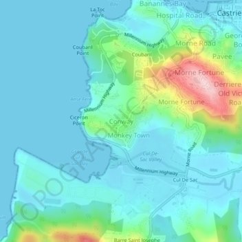
Name: Conway topographic map, elevation, terrain.
Location: Conway, Castries, LC06 101, Saint Lucia (13.97163 -61.02897 14.01163 -60.98897)
Average elevation: 151 ft
Minimum elevation: 0 ft
Maximum elevation: 843 ft